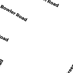
10 BOWLER RD
Owner Information
THORNTON FRANCIS J & MARY ELLEN
5048 ST GEORGE ROAD
WILLISTON, VT 05495


Property Details
10 BOWLER RD is classified as a Developable Residential Land (Vacant land).
10 BOWLER RD is valued at $90,700. The land is valued at $90,700 and the structures are valued at $0.
This property is in Zone R60. Confirm with local Zoning Board authorities to ensure there are no overlays or other easements on this property.
The most recent deed for 10 BOWLER RD is recorded at the local registrar in Book 2674, Page 0168. 10 BOWLER RD was last sold on Thursday, December 18, 1958 for $1.
Assessment data from fiscal year 2022.
Flood Data
According to the FEMA National Flood Hazard Layer, this property does not appear to be in a flood zone. It may also be in an area not yet reviewed. Nonetheless, confirm this information prior to taking any action.
To view the flood hazards around this property, create a FEMA "Firmette" Map of the area around 10 BOWLER RD.
Broadband Internet Providers
| Provider | Type | Bandwidth (mbps) | |
|---|---|---|---|
| Verizon New England Inc. | Fiber | 940 | 880 |
| Comcast | Cable | 1000 | 35 |
| GCI Communication Corp. | Satellite | 0 | 0 |
| VSAT Systems, LLC. | Satellite | 2 | 1 |
| Viasat Inc | Satellite | 35 | 3 |
| HughesNet | Satellite | 25 | 3 |
| Verizon New England Inc. | DSL | 5 | 0 |
Broadband service provider data from December 2020.
Adjacent Properties
- 1 SHERBURNE WAY
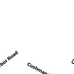
Developable Residential Land owned by WORTHEN SHERBURNE R - 9 CUSHMAN RD
Single Family Residential owned by ALLEN MICHELLE E - 7 CUSHMAN RD
Single Family Residential owned by BARRASSO CHRISTOPHER J - 5 CUSHMAN RD
Single Family Residential owned by FLANAGAN BARBARA - 8 BOWLER RD
Developable Residential Land owned by THORNTON LEO J - 0 TERRY LN
Improved, Selectmen or City Council (Municipal) owned by TOWN OF WAREHAM - 0 FONSECA WY
Undevelopable Residential Land owned by CORNERSTONE ESTATES 2